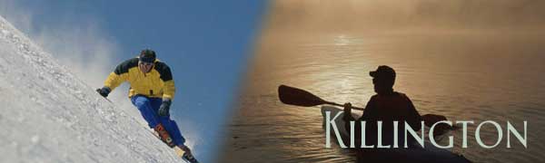
Killington is best known for its ski resort, the largest in the eastern United States. But, there is more to this Vermont town than this. Killington is a mountain community located about midway between Rultland and Woodstock on Route 4. Route 4 is the main east-west corridor through Central Vermont. It runs across the width of the state, running from Lebanon New Hampshire to Whitehall New York. Looking at a map of a Vermont, you will find Killington at the junction of Route 100 and Route 4, more or less in the center of the state.
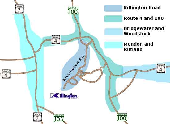
Killington area map courtesey of the Birchridge Inn
Over the years the area has developed into more than just a ski area. People have bought second homes here and in some cases, moved permanently into the area. During Spring, Summer and Fall, the Killington Region is a celebration of the outdoors. 18 golf courses are in the area, including both the Green Mountain National and Killington Resort golf courses in Killington proper. In addition, the Green Mountains offer an amazing backdrop for a complete vacation with activities including hiking, mountain biking, bicycle touring, antique hunting, and just plain relaxing.
What to find out more about what is going on Killington. Check the Killington Blog
Quick Facts about Killington Vermont.
POPULATION Killington Vermont USA
Total population 1,095
Square miles(land) 46.63
Population per square mile 23.48 65.82 79.56
Then, there is Killington the mountain (and ski resort)
Summit Elevation 4,241 feet
Base Elevation 1,165 feet
Vertical Drop 3,050 feet
Skiable Acres 1,182
Miles of Trails 87
Total Ski Trails 200 Trails
Total "Easier" Ski Trails 59 (30%)
"More Difficult" Ski Trails 78 (39%)
"Most Difficult" Ski Trails 63 (31%)
Total Ski Lifts 33
Information for this page supplied in part by Bill Vines at the Birchridge Inn in Killinton, VT
|